
Compulsory Areas
Home ![]() Compulsory Areas
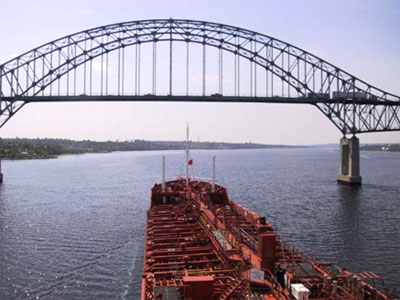
Compulsory Areas ![]() Miramichi
Miramichi
Miramichi
| Compulsory Pilotage Area | Pilot Boarding Station | First ETA UTC (Hours) | Confirm or Correct ETA (Hours) | Departure / Movage Local Time (Hours) | Pilot Boat R/T Channel No. |
|---|---|---|---|---|---|
| Apr.16 - Dec.10 Consists of all the navigable waters within a line drawn from Pointe Morin to the north end of Portage Island, on a bearing of 114°(True) to a position at Latitude 47°07'30"N, Long. 64°47'00"W and on a bearing of 191° (True) to Point Escuminac Light |
47° 07' 30"N 64° 47' 00"W |
12 | 4 | 4 | 16 |
| Dec.11 - Apr.15 Consists of all the navigable waters within a line drawn from Pointe Morin to the north end of Portage Island, on a bearing of 114°(True) to a position at Latitude 47°07'30"N, Long. 64°47'00"W and on a bearing of 191° (True) to Point Escuminac Light |
45° 24' 00"N 61° 01' 00"W |
24 | 12 | 4 | 14 |
| Vessels transiting Maramichi River must indicate draught. | |||||