
Compulsory Areas
Home ![]() Compulsory Areas
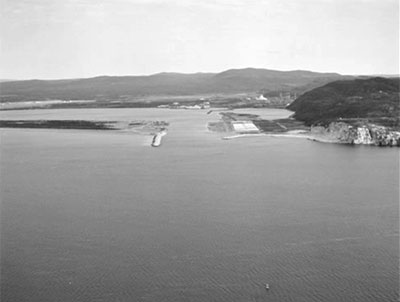
Compulsory Areas ![]() Stephenville
Stephenville
Stephenville
| Compulsory Pilotage Area | Pilot Boarding Station | First ETA UTC (Hours) | Confirm or Correct ETA (Hours) | Departure / Movage Local Time (Hours) | Pilot Boat R/T Channel No. |
|---|---|---|---|---|---|
| Consists of all the navigable waters in Stephenville Pond and all the navigable waters within a line drawn from Indian Head Light in a direction of 210° (True) for a distance of 600m, 320° (True) for a distance of 900m, 030° (True) for a distance of 820m to shore | 48° 29' 40"N 58° 33'00"W |
12 | 4 | 4 | 16 11 |